Wander the Glens: An Interactive Journey to Fairy Mounds and Clootie Wells

Set out with an interactive map that brings together centuries of folklore and the quiet reality of the hills, plotting fairy mounds and clootie wells along winding glen paths. Explore GPS-guided routes, layered legends, and respectful visiting tips. Add notes, photographs, and gentle corrections as you go, helping others navigate safely, learn kindly, and keep these places cared for. Subscribe for seasonal updates, share your own discoveries, and join a community that walks softly while keeping stories alive.

Origins Whispered by Hillsides

The soft hum at the foot of a grassy rise is not only the wind; it is memory speaking through language, practice, and land. This exploration gathers folklore, archaeology, and living custom, linking fairy-haunted knolls and cloth-laced wells with coordinates you can follow on foot. By walking and listening, you move between narrative and landscape, witnessing how water, stone, and story remain inseparable across generations and pathways that weave through every glen.

How to Use the Map on the Trail

Filters, Layers, and Distance Guides

Switch between folklore, landscape, and stewardship layers to understand what lies ahead. Distance rings help judge whether dusk invites a short stroll or a punctual turn-around. Elevation shading makes steep ground obvious, saving knees and time. If a path crosses onto farmland, access notes appear with gates, styles, and local advice. Prefer quiet places? Use the solitude filter, which highlights routes less traveled but still responsibly documented.

Offline Reliability and Battery Sense

Before leaving the car park, download the glen tiles and waypoints so mountains cannot swallow your signal. Dark mode and reduced refresh preserve battery without hiding crucial markers or warnings. The map pauses heavy tasks when you stand still, because lingering at a well should not drain your day. Keep a paper backup for contour reading, and remember that charging banks ride lighter than anxiety when clouds gather unexpectedly.

Mark, Photograph, and Share Responsibly

Capture details that matter: spring clarity, ribbon condition, path erosion, and nearby signage. Geotagging is softened around vulnerable mounds to prevent overcrowding, while captions request anonymity for private landowners. Share through the app to add context, not to chase likes. Flag sensitive information for moderator review, especially if a new site appears. Your careful notes help others arrive prepared, leave lighter footprints, and carry stronger stories back home.

Respectful Visiting and Community Care

A walk among sacred springs and story-rich hillsides is an agreement with many caretakers: the people who remember, the creatures who nest, and the land itself. The map emphasizes Leave No Trace, thoughtful offerings, and sensitivity to access rights. If in doubt, pause and ask a local or consult the access layer. Reverence is practical here: compostable cloth, quiet voices, closed gates, and a steady willingness to pick up what others forgot.

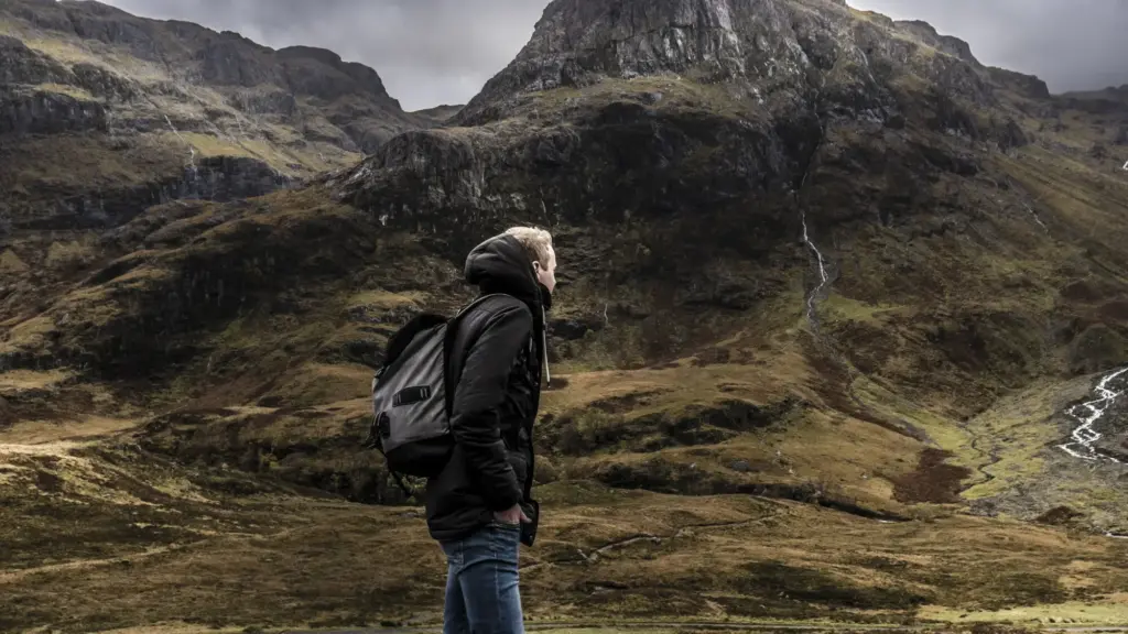
Routes Through Three Evocative Glens

Choose gentle circuits that favor contemplation over conquest. Our suggested paths balance scenic riverbanks, airy pinewoods, and old stone tracks, each with nearby mounds or wells. Distances are approximate and weather-dependent, so consult forecasts and daylight. Surprises may include a sudden drizzle, a wandering sheep, or a rainbow strung between ridges. The map offers escape options if skies turn, ensuring your return stays as graceful as your arrival.
Begin where Caledonian pines lean over water, following a loop that kisses loch edges and mossy knolls. A soft rise ahead, rumored in stories, asks only for quiet feet and wider eyes. Listen for siskins; watch for dragonflies skate the shallows. The map marks viewpoints, roots underfoot, and a sheltered spot for tea. Return along a bracken-framed path that catches sun, leaving space for those starting later.
Among Black Isle trees, colored ribbons flutter like small prayers in a breeze that smells of resin and rain. Travel slowly, trace boardwalks where ground turns bog-soft, and give ribboned branches a respectful berth. The app’s stewardship layer explains local cleanup habits and material choices. When you circle back, consider packing a spare bag to collect fragments of plastic, offering the grove a clean breath before you go.

Field Notes from Wanderers

Beyond lines and labels, lived moments give the map its heart. Each note adds texture: a child’s ribbon tied with shy concentration, a heron lifting from reeds, a chance chat with someone who remembers winters colder than our own. We collect brief accounts that favor kindness over spectacle, and context over crowds. Share your day’s turning point, your small learning, your gentle correction, and let others walk wiser because you did.

Celtic Words that Point the Way

Place-names often carry memory like a bell under water, audible if you learn how to listen. Understanding a handful of Gaelic and related terms sharpens your sense of where springs gather, where hills soften to mounds, and where stories tend to root. The map annotates recurring elements and variant spellings, nudging your eyes toward clues already painted on signposts, stones, and the breath of local speech that wraps every path.

Sìth, Sidhean, and Shee

Terms related to the hidden folk appear across maps and tales, pointing to places where rounded rises or solitary knolls wait slightly aside from ordinary land. You will see spellings vary—accented, anglicized, and woven through time. Our annotations link those forms, encouraging careful reading rather than quick certainty. When a name whispers of hidden doors, treat the hill as a neighbor with privacy, not a puzzle to be solved.

Cnoc, Dùn, and Druim

Cnoc suggests a hill or rounded height, dùn a fort or ancient enclosure, and druim a ridge that rides the skyline. Together, they frame movement through a glen, revealing where routes concentrate and where viewpoints bloom. The map overlays pronunciation notes and field sketches to keep terms friendly, not forbidding. Learning them turns each sign into a conversation, each contour into a sentence unfolding under your boots.

Propose a Place with Care

When suggesting a mound or well, provide context: how you learned of it, landowner permissions, path conditions, and any signs of stress like erosion or litter. Include approximate placement rather than a pin on the heart. Our reviewers check maps, archives, and local contacts before publication. If we decide to omit details to protect a site, we will explain why, so shared stewardship remains transparent and trusted.

Check Sources, Note Legends

Legends deserve daylight, yet citations matter. Add references to parish records, folklore collections, and older maps, or mark your note as oral history when appropriate. Distinguish witnessed customs from hearsay, and signal uncertainty clearly. The app’s source tags keep discussions honest without dimming wonder. Our editorial aim is humble: let enchantment breathe while preventing confusion from becoming harm to land, wildlife, or community relationships.
Narixarisanokentokavifari
Privacy Overview

This website uses cookies so that we can provide you with the best user experience possible. Cookie information is stored in your browser and performs functions such as recognising you when you return to our website and helping our team to understand which sections of the website you find most interesting and useful.